Germany-wide spatio-temporal modelling of carbon contents of agricultural soils through an integrative analysis of satellite image time series and geodata (KoBoS)
© Thünen/Tania Runge
Objective
Development of an extensible "open source" process chain for scale-specific prediction of topsoil carbon contents
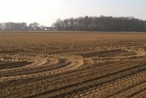
Methodology
- Basic parameterisation of user-specific soil samples with multi-hierarchical relief attributes and multi-temporal soil reflectance composites
- Modelling using machine learning methods
- Characterisation of the modelling products with global accuracy and local uncertainty measures
- Documentation of the geodata life cycle according to FAIR principles
Climate effect under consideration
Spatial and temporal variation of the carbon storage potential of agricultural soils
Data sets and products
Möller, M. (2025). Multi-scale Terrain Attributes and Sentinel-2 Bare Soil Composites for Digital Soil Mapping in Bavaria (1.0.0) [Data set]. Zenodo. https://doi.org/10.5281/zenodo.17479135
Contact persons
Link to project page: KoBoS
Scroll to top